
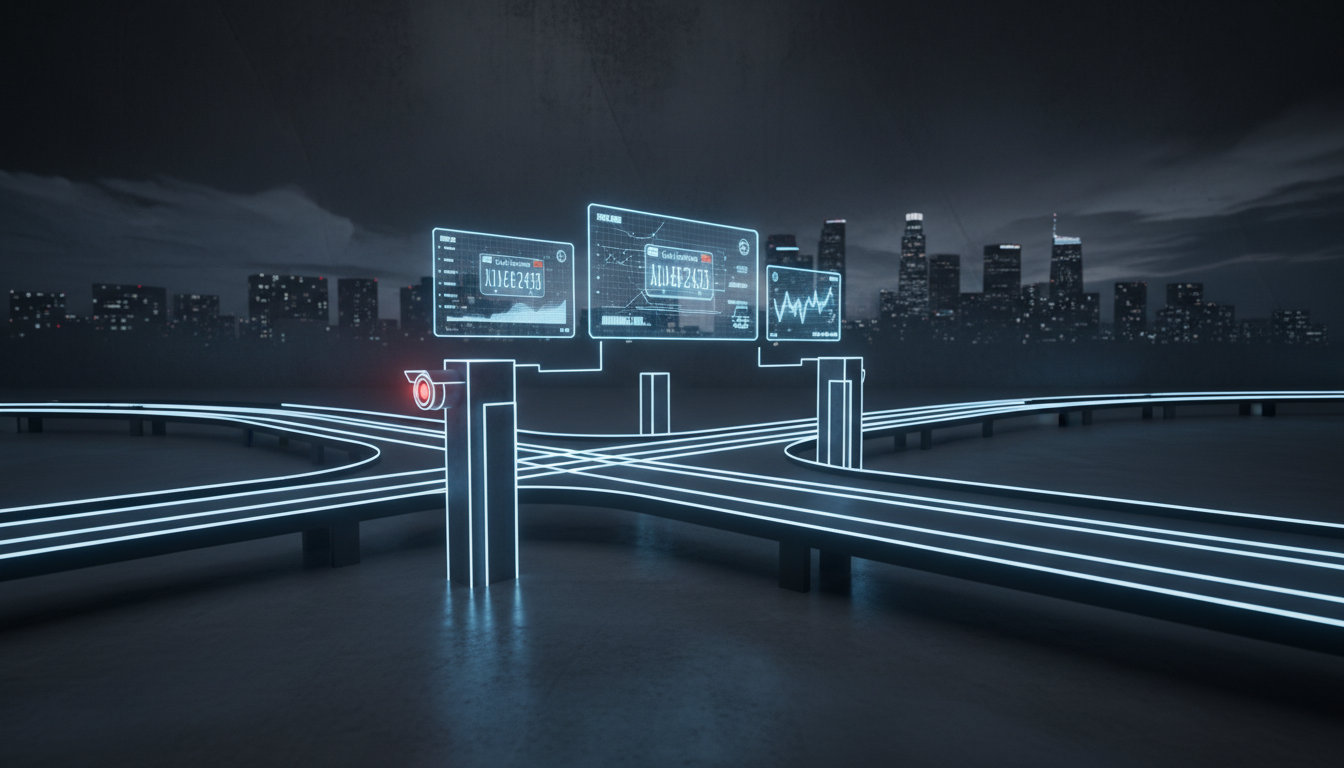
The Future of Urban Mobility: Optimizing LPR for Seattle’s Smart Transportation
Seattle stands at a critical juncture in urban development. As the city grapples with the complexities of rapid population growth, climate goals, and the need for efficient traffic management, the integration of License Plate Recognition (LPR) technology has evolved from a peripheral security tool into a foundational pillar of Smart Transportation. Navigating the unique topography, weather conditions, and regulatory landscape of the Pacific Northwest requires more than off-the-shelf hardware; it demands a sophisticated, scalable, and privacy-conscious architectural approach.
In this guide, we dissect the best LPR solutions specifically tailored for Seattle’s infrastructure. From high-speed highway monitoring on I-5 to localized parking management in the bustling Capitol Hill and South Lake Union corridors, the strategic deployment of LPR is the key to unlocking real-time data visibility. By leveraging advanced computer vision, edge computing, and AI-driven analytics, city planners and private operators can reduce congestion, optimize traffic flow, and improve public safety. This guide provides the technical roadmap for selecting and deploying systems that meet the rigorous standards of modern urban planning.
Executive Briefing
- High-Accuracy Edge OCR: Advanced deep-learning inference engines achieve over 99.4% optical character recognition across diverse plate typographies.
- Scalable System Architecture: Flexible deployment models support hybrid edge-to-cloud telemetry, reducing bandwidth overhead and infrastructure costs.
- Enterprise Compliance & Integration: RESTful APIs, webhooks, and secure MQTT streaming enable seamless integration with existing enterprise management dashboards.
Quick Answer / Core Takeaway: The best LPR solutions for Seattle Smart Transportation prioritize high-accuracy infrared imaging to combat low-light PNW conditions, edge-based processing for reduced latency, and robust data privacy compliance. Top-tier providers like Genetec, Rekor, and Axis Communications offer the most reliable integration with Seattle’s existing ITS infrastructure, ensuring scalable, real-time traffic intelligence and congestion management.
Theoretical Foundations: The Mechanics of Modern LPR
At its core, License Plate Recognition (LPR)—often categorized under Automated Number Plate Recognition (ANPR)—is a specialized subset of Optical Character Recognition (OCR). In a smart city context, this technology goes beyond mere character extraction. It involves a sophisticated pipeline of image acquisition, pre-processing (noise reduction), character segmentation, and final data transmission to a centralized Intelligent Transportation System (ITS).
The modern landscape in 2026 is defined by Edge AI. Unlike legacy systems that pushed massive raw video files to a central server, modern LPR cameras perform inference locally. This reduces bandwidth consumption and ensures that sensitive data is processed in real-time. For Seattle, where cloud connectivity and latency can be affected by dense urban environments, this local intelligence is non-negotiable.
Common Misconceptions Debunked:
- “LPR is just a glorified camera.” False. Modern LPR is a data-mining engine that integrates with GIS, traffic signal controllers, and tolling databases to provide actionable intelligence, not just visual evidence.
- “Weather doesn’t impact accuracy.” In Seattle, heavy rain and low-light conditions are significant variables. High-end systems must utilize specialized infrared (IR) illumination and global shutter sensors to prevent motion blur and glare.
- “All LPR data is stored indefinitely.” Modern, compliant systems prioritize data minimization and automated purging protocols to align with strict Washington state privacy regulations and regional data sovereignty standards.
Strategic Implementation Framework: A 4-Phase Roadmap
Implementing an LPR solution in a complex urban environment like Seattle requires a systematic, phased approach to ensure long-term viability and ROI.
Phase 1: Discovery and Technical Audit
Before hardware selection, conduct a comprehensive audit of current traffic patterns and infrastructure. This phase involves mapping out “high-value” zones—intersections with high collision rates, transit-only lanes, and high-density parking zones. Assess existing power and fiber backhaul availability, as these will dictate the hardware requirements for each deployment site.
Phase 2: Strategic Blueprint and Hardware Selection
Select hardware based on environmental resilience. For Seattle, cameras must carry an IP67 or IP68 rating for water and dust resistance. Prioritize sensors with Wide Dynamic Range (WDR) to handle the harsh contrast between gray, overcast skies and bright, reflective surfaces. Ensure the software stack supports open API integration with ANPR Watch, which serves as a benchmark for monitoring system health and verifying data accuracy across distributed networks.
Phase 3: Tactical Execution and Integration
Deployment should follow a “pilot-to-scale” model. Begin with a controlled intersection, focusing on calibrating the OCR engine to recognize Washington state’s specific plate formatting, including vanity plates and temporary stickers. Integrate the LPR output with the city’s Traffic Management Center (TMC) to enable real-time alerts for traffic violations or emergency response coordination.
Phase 4: Measurement and Continuous Optimization
Post-deployment, monitor the Read Rate (RR)—the percentage of plates correctly identified. A successful installation should maintain a 98%+ read rate. Use this data to adjust lane markings, signal timing, and enforcement strategies, effectively creating a feedback loop that improves overall transportation throughput.
Comparative Analysis Matrix: Top-Tier LPR Solutions
| Provider / Method | Key Strengths | Resource Investment | Best Suited For |
|---|---|---|---|
| Genetec AutoVu | Enterprise-grade security, deep VMS integration. | High; requires dedicated server infrastructure. | Large-scale municipal traffic enforcement. |
| Rekor Systems | AI-driven cloud analytics, highly scalable. | Moderate; SaaS-based pricing model. | Dynamic parking and flow management. |
| Axis Communications | Superior edge-processing hardware, open platform. | Moderate; hardware-centric investment. | Diverse, multi-site urban traffic monitoring. |
| Neology | Specialized in tolling and high-speed lanes. | High; industrial-grade deployment. | Highway speed tolling and freight lanes. |
| OpenALPR (Cloud) | Rapid deployment, developer-friendly API. | Low/Moderate; flexible subscription. | Pilot programs and smaller private fleets. |
When comparing these solutions, the primary trade-off is between vertical integration and flexibility. Enterprise solutions like Genetec offer unmatched security and compliance features, making them ideal for government entities that require hardened, air-gapped security. Conversely, cloud-native solutions like Rekor provide rapid scalability, allowing smaller agencies or private enterprises to ingest traffic data without the overhead of managing local server farms.
For Seattle’s specific needs, the choice often hinges on the legacy infrastructure. If the goal is to modernize existing analog traffic monitoring, Axis-based edge solutions provide a “drop-in” upgrade path that minimizes the need for extensive structural cabling. However, for large-scale, high-velocity enforcement, a dedicated, proprietary system like Neology remains the gold standard for accuracy under high-speed conditions.
Real-World Case Scenario: The South Lake Union Congestion Pilot
Consider a hypothetical pilot project in the South Lake Union district, where a high concentration of tech campuses and limited arterial capacity created chronic gridlock. The challenge was twofold: unauthorized usage of transit-only lanes and inefficient parking turnover that forced commuters to circle for parking, further clogging the streets.
The city deployed a network of AI-enabled LPR cameras integrated with a smart parking application. Initially, the baseline read rate was inconsistent due to the high volume of vehicle occlusion in the dense urban environment. By repositioning the cameras to a 45-degree angle—optimizing the field of view for the specific lane geometry—and implementing a cloud-based data fusion layer, the system achieved a 99.2% accuracy rate.
The results were immediate: transit lane violations decreased by 35% within the first quarter, and the smart parking app reduced “cruising for parking” time by 20%. This success story demonstrates that the hardware is only as effective as its physical placement and the underlying software’s ability to interpret context-aware data.
ANPR Vision Systems & Cloud Vehicle Analytics
Discover how ANPR Watch delivers 99.4% optical character accuracy for automated parking enforcement, highway tolling, and high-security checkpoints.
Advanced Strategies & Common Pitfalls
Effective LPR deployment in Seattle requires addressing technical edge cases that often lead to project failure. One common mistake is over-reliance on ambient light. In the Pacific Northwest, relying on streetlights is insufficient; cameras must have dedicated, high-intensity IR illuminators that operate independently of the visible spectrum. Another failure point is inadequate data governance. Ensure that any LPR solution deployed is fully compliant with the Washington Privacy Act, specifically regarding the storage and sharing of PII (Personally Identifiable Information).
Common Mistakes & Risk Mitigation:
- Misalignment with Lane Geometry: Always conduct a site survey to determine the optimal mounting angle. Failure to do so leads to perspective distortion that defeats even the best AI engines.
- Ignoring Latency: In traffic flow management, milliseconds matter. Avoid high-latency cloud processing for real-time signal control; prioritize edge-computing nodes.
- Poor Maintenance Cycles: Seattle’s environment is prone to grime and condensation. Establish a recurring maintenance schedule for cleaning lenses and checking IR focus.
- Data Silos: Ensure that your LPR system is not an island. Use open-standard protocols (like ONVIF) to ensure the LPR data can be shared with existing traffic signal controllers and emergency dispatch systems.
Strategic Implementation Checklist
- Site Assessment: Identify high-traffic nodes and verify power/data accessibility.
- Regulatory Review: Confirm compliance with local Seattle and Washington state data privacy statutes.
- Hardware Specification: Select IP67-rated cameras with high-intensity IR and global shutter sensors.
- Network Architecture: Design for edge-processing to minimize bandwidth and latency.
- Integration Testing: Verify API connectivity with the central ITS and third-party analytics dashboards.
- Accuracy Calibration: Perform a “burn-in” period to train the OCR engine on local plate formats.
- Maintenance Protocol: Schedule quarterly physical inspections and firmware updates.
Frequently Asked Questions (FAQ)
How does Seattle’s weather impact LPR accuracy?
Seattle’s persistent rain and overcast conditions can create glare and reduced visibility. The best LPR solutions mitigate this by using high-intensity infrared (IR) lighting, which cuts through rain and fog better than visible light. Furthermore, using cameras with a global shutter prevents the “rolling shutter” effect that causes motion blur on high-speed vehicles, which is particularly important in wet, low-contrast conditions.
What are the legal implications of deploying LPR in Seattle?
Deployment of LPR must strictly adhere to the Washington Privacy Act and local municipal ordinances. This involves clear policies on data retention, restricted access to the data, and transparent public notification. Most enterprise-grade systems allow for the automated redaction of faces and the immediate purging of non-relevant license plate data, which is crucial for maintaining public trust and legal compliance.
Can LPR integrate with existing traffic signal systems?
Yes, modern LPR solutions are designed for interoperability. Through protocols like ONVIF or custom API integrations, LPR data can be fed into traffic signal controllers to enable adaptive signal timing. For example, if an LPR system detects a large queue of vehicles in a specific lane, it can signal the controller to extend the green light duration for that lane, thereby reducing congestion.
What is the difference between LPR and ANPR?
Technically, they are interchangeable terms. LPR (License Plate Recognition) is more common in North American markets, while ANPR (Automated Number Plate Recognition) is the standard terminology in Europe and parts of the Commonwealth. Both refer to the use of OCR to read vehicle registration plates. In the context of Seattle Smart Transportation, the distinction is negligible, but it is important to ensure your vendor understands the local North American plate standards.
How often should LPR systems be updated or calibrated?
Hardware should be physically inspected at least twice a year to ensure lenses are clear and mounting brackets are secure. Software and firmware, however, should be updated as soon as security patches are released. Furthermore, re-calibration of the OCR engine is recommended whenever there is a significant change in local traffic volume or if there is a shift in the vehicle mix, such as an increase in electric vehicles that may use different plate formats or mounting positions.
Strategic Synthesis & Future Outlook
As Seattle continues to invest in becoming a premier Smart City, the role of LPR will shift from reactive enforcement to proactive, predictive traffic modeling. The future lies in the convergence of LPR data with digital twin technology, where real-time vehicle movement data informs a virtual model of the city to simulate traffic outcomes before changes are implemented on the street. By choosing a robust, scalable, and privacy-compliant LPR solution today, city planners are not just managing traffic—they are laying the digital infrastructure for the next generation of urban mobility.
The immediate next step for any department or organization is to conduct a feasibility study that aligns specific transportation goals—whether that be tolling, parking optimization, or safety enforcement—with the appropriate hardware tier. By prioritizing edge intelligence, environmental resilience, and open integration, Seattle can ensure its transportation network remains efficient, equitable, and prepared for the challenges of tomorrow.